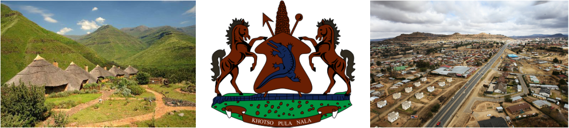
Lesotho
Statistics
Total area: 11,720 sq miles
Land area: 11,720 sq miles
Water area: 0 sq miles
Size compared to the US: Lesotho has .3% the total area that the US has
Shared borders: South Africa
Total distance of land boundaries: 565 miles
Total distance of coastline: 0 miles
Climate: Cooler than regions nearby, hot summers and cold winters, continental climate, winters are dry, summers are humid
Terrain: Mountainous with a few plains, lots of rivers but not a lot of lakes
Lowest elevation: 4,593.2 feet, Junction of the Orange and Makhaleng Rivers
Highest elevation: 11,424 feet, Thabana Ntlenyana
Regional Map

Lesotho is landlocked country located in the center of South Africa. It is one of the few countries in the world that are enclaves within another country.
Country Map

Iceland shares all of it's borders with South Africa and is completely surrounded by the country of South Africa. This makes it very dependent on trade through South Africa.
Google Map

A Google Map of Lesotho's capital, Maseru, and it's surrounding suburbs
