Iceland
Statistics
Total area: 39,770 sq miles
Land area: 38,696.21 sq miles
Water area: 1073.79 sq miles
Size compared to the US: Iceland has 5% the total area that the US has
Shared borders: Atlantic Ocean, Arctic Ocean, Norwegian Sea
Total distance of land boundaries: 0 miles
Total distance of coastline: 3,088 miles
Climate: Temperate, mild, windy winters, cool in summer, humid in South and West
Terrain: Mostly plateaus, interspersed with mountains, icefields, coast has many bays and fjords
Lowest elevation: -479 feet, Jökulsárlón Lagoon
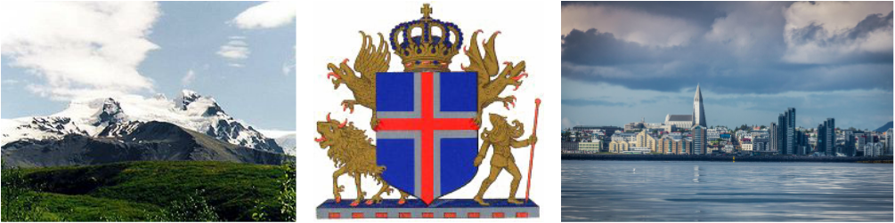
Highest elevation: 6923 feet, Hvannadalshnúkur
Land area: 38,696.21 sq miles
Water area: 1073.79 sq miles
Size compared to the US: Iceland has 5% the total area that the US has
Shared borders: Atlantic Ocean, Arctic Ocean, Norwegian Sea
Total distance of land boundaries: 0 miles
Total distance of coastline: 3,088 miles
Climate: Temperate, mild, windy winters, cool in summer, humid in South and West
Terrain: Mostly plateaus, interspersed with mountains, icefields, coast has many bays and fjords
Lowest elevation: -479 feet, Jökulsárlón Lagoon
Highest elevation: 6923 feet, Hvannadalshnúkur
Regional Map
Iceland is an island located in the northern part of Europe.

Country Map
Iceland is located on an island and does not share borders with any other countries

Google Map
A Google map of Iceland's capital city, Reykjavik, and its surrounding suburbs

